
Snow forecast tomorrow by zip code: how to read totals, timing, and risk
Snow forecast tomorrow by zip code shows the expected local snowfall amount and timing, but the best planning number is a range instead of one exact inch total. A one- to two-degree temperature difference near freezing, a small storm-track shift, or a narrow band of heavier snow can move a forecast from nuisance to commute-disrupting.
Snow forecast tomorrow by zip code is the fastest way to answer the practical winter question behind searches like how much snow are we getting, will it snow tomorrow, and whether a local snow accumulation forecast should change school, commute, or shoveling plans. If you already use our weather tomorrow by hour, wind chill tomorrow by ZIP code, and winter car emergency kit checklist, this page adds the missing snowfall layer: how to read expected totals, low-end and high-end ranges, timing, and local bust risk before you commit to tomorrow's schedule.
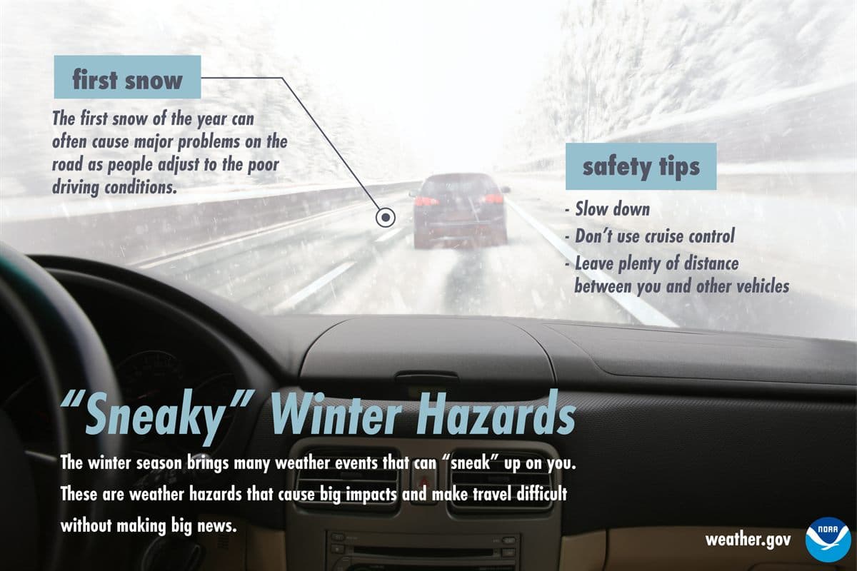
How do you check the snow forecast tomorrow by zip code without overreacting to one number?
Start with location, then timing, then amount. ZIP code matters because winter storms often have sharp edges: one side of a metro area may sit under heavier bands while another stays in a lighter shield, and elevation, lake influence, coastline, and urban heat can change the outcome over short distances. A city-wide forecast can still be useful, but it is not the same as checking the closest point forecast and alert text for the ZIP code where you will actually be driving, working, or sending children to school.
After location, compare the hourly snow forecast with the hours that matter. A forecast of 2 inches is a very different event if it falls from 2 AM to 5 AM before treatment crews finish than if it falls gently after the evening commute. The National Weather Service graphical forecast includes snow amount products and weather timing products, while the Weather Prediction Center provides probabilistic winter precipitation guidance for larger-scale context. Those products answer different questions, so the best workflow uses them together rather than letting one app card decide the whole day.
Finally, read the amount as a decision range. Expected snowfall is your baseline, not your promise. Low-end and high-end values show what could happen if the storm track, snow ratio, or heaviest band shifts near your ZIP code. This is why a single total can feel wrong even when the forecast was reasonable: the storm may have landed inside the plausible range but outside the number people remembered.
| Forecast input | What it answers | Mistake to avoid |
|---|---|---|
| Expected snowfall | The most likely amount for the forecast period. | Treating one number as a guarantee instead of a midpoint. |
| Low-end snowfall | A plausible lower amount if the storm underperforms locally. | Using it as permission to ignore alerts or poor timing. |
| High-end snowfall | A plausible higher amount if heavier bands or colder air line up over your ZIP code. | Calling it hype; it is a contingency number, not a promise. |
| Hourly snow timing | Whether the worst snow overlaps school, commute, or road treatment windows. | Focusing on storm total while missing the two-hour block that disrupts the day. |
| Temperature profile | Whether precipitation falls as snow, rain, sleet, freezing rain, or a wet mix. | Ignoring a 31 to 34 F setup where small changes alter totals quickly. |
What snowfall totals should change tomorrow's school, commute, and shoveling plan?
Snow impact is not linear. The first inch can matter more than the fifth inch if it arrives on untreated roads during peak travel. A 4-inch forecast may be routine in Buffalo, Madison, or Minneapolis but more disruptive in Atlanta, Nashville, or Raleigh because equipment, driver experience, and school operating thresholds are different. That local tolerance is why winter storm warning and advisory criteria vary by National Weather Service office instead of using one national snowfall number for every county.
Still, useful planning bands exist. Trace snow asks you to watch slick spots and timing. One to 3 inches usually deserves a commute and school-arrival check. Three to 6 inches often becomes plowable and may change parking, errands, and pickup plans. Six inches or more starts to pull in longer cleanup, power, visibility, and access questions, especially when wind or mixed precipitation joins the storm.
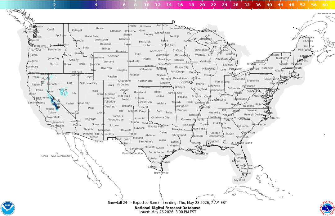
How much snow are we getting, and what does each range usually mean?
The phrase how much snow are we getting sounds simple, but it hides several separate decisions. A homeowner wants to know when to shovel. A parent wants to know whether school may delay. A commuter wants to know whether the highway will be slow at 7:30 AM. A facility manager wants to know whether crews need one pass or several. The storm total matters to all of them, but the right action depends on the range, the snow rate, and the time of day.
| Forecast range | What it usually means | Best move for tomorrow |
|---|---|---|
| Trace to 1 inch | Often a nuisance event, but slick spots can still form on bridges, shaded streets, and untreated sidewalks. | Check timing and pavement temperature before assuming normal travel. |
| 1 to 3 inches | Enough to slow commutes, school arrival, deliveries, and first-shovel decisions if it falls at the wrong time. | Shift flexible trips, stage scraper and shovel, and watch whether snow starts before peak travel. |
| 3 to 6 inches | A plowable event in many areas, with bigger impacts where snow is unusual or rates become heavy. | Plan around delays, move vehicles before plows arrive, and avoid unnecessary morning travel. |
| 6 to 12 inches | A disruptive storm for many communities, especially if wind, low visibility, or mixed precipitation is involved. | Treat errands, school, work, and driveway clearing as a managed storm schedule. |
| 12 inches or more | A major event where road access, roof loads, drifting, outages, and delayed cleanup can matter after the snow stops. | Use official alerts and local emergency guidance, not just a weather app total. |
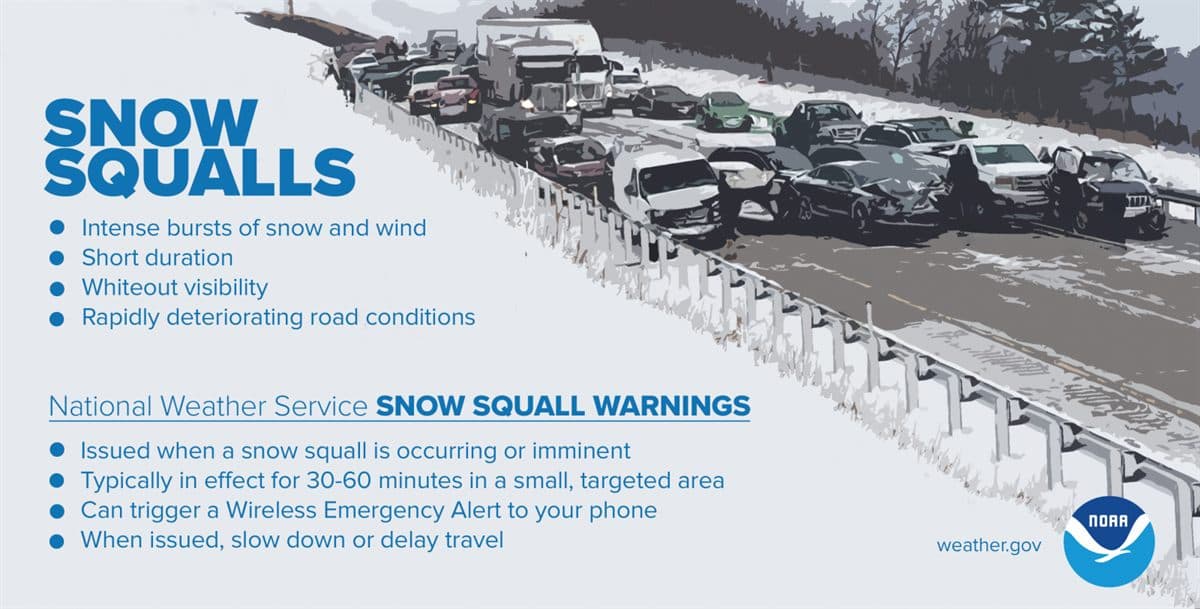
The table is not a substitute for local alerts. It is a way to translate a snowfall forecast into a first-pass plan before you read the alert details. If your area has a winter weather advisory, winter storm watch, winter storm warning, snow squall warning, or local briefing, use that product to sharpen the plan. Our Winter Storm Severity Index guide explains why impact tools can add context, but warnings and local office messaging still carry the action threshold.
Why do snow forecasts change the night before a storm?
Snow is hard to forecast because several ingredients have to line up at the same time. The storm track controls where the best lift and moisture go. The temperature profile decides whether precipitation stays snow or mixes with rain, sleet, or freezing rain. The snow-to-liquid ratio decides whether one-tenth of an inch of liquid turns into a dense inch of wet snow or a fluffier two inches. A narrow band can double the local amount if it parks over your ZIP code for a few hours.
The final 12 to 24 hours matter because forecasters get more useful short-range data: radar trends, surface observations, aircraft data, upper-air soundings, and newer model runs that capture mesoscale bands better than broader long-range guidance. When a forecast changes late, it is not automatically a failure. Sometimes it is the forecast catching up to a storm detail that only became measurable close to the event.
This is especially true near freezing. A forecast high of 33 F does not mean the same thing on every road or hill. Heavy precipitation can cool the column, surfaces can lag behind the air temperature, and urban or coastal areas can hang onto a warmer boundary layer longer than nearby inland neighborhoods. If tomorrow sits in that marginal 31 to 34 F zone, expect more forecast updates and build more flexibility into the plan.
The most useful snow forecast is not the one that pretends uncertainty is gone. It is the one that tells you where the range is wide enough to change tomorrow's decision.
Is a snow day forecast the same as a snow accumulation forecast?
No. A snow accumulation forecast is meteorological: how much snow may fall, when it may fall, and how uncertain the amount is. A snow day forecast is an operational guess about whether schools, offices, or services will close. The second depends on the first, but it also depends on local policy, road treatment, bus routes, staffing, past storms, and whether the worst conditions overlap student travel.
That distinction matters because many search results promise a snow day percentage. A percentage can be useful as a rough signal, but families should not treat it as official. The reliable workflow is to check snowfall amount, precipitation type, timing, wind chill, and alerts; then watch official district, employer, or local emergency channels for the actual decision. If the weather input is uncertain, the closure input is even more uncertain.
For households, the practical answer is to create a snow-day branch before the announcement. Decide who can work from home, where children go if school delays, which appointments can move, and which errands should happen before the snow starts. That way the official closure decision changes execution, not the whole plan.
What is the best number to use: expected, low-end, or high-end snowfall?
Use all three, but give each one a different job. Expected snowfall is the baseline plan. Low-end snowfall tells you what a less disruptive outcome might look like if dry air wins, warm air hangs on, or the main band stays north or south. High-end snowfall tells you what to prepare for if the storm overperforms locally. A good plan does not average those numbers into a vague middle; it assigns actions to each one.
| Range type | Plain meaning | Best use |
|---|---|---|
| Low-end amount | Most places in the forecast area should get at least this much if the storm stays on track. | Minimum road-treatment and schedule planning. |
| Expected amount | The forecaster baseline for the most likely snowfall outcome. | Your default plan for school, commute, and shoveling timing. |
| High-end amount | A lower-probability but still plausible outcome if ingredients line up locally. | Contingency planning for cancellations, extra supplies, and delayed cleanup. |
For low-stakes plans, expected snowfall may be enough. For high-stakes plans, such as early flights, medical appointments, a long rural commute, or a school event with many families traveling, the high-end scenario deserves a real contingency. The Weather Prediction Center's probabilistic precipitation forecasts show a low-end, expected, and high-end amount for the next 72 hours, with snowfall as one of the options. Use them to see how far the high end sits above the expected total, so one snowfall number does not have to do every job.
What should tomorrow's hourly snow timing change?
Hourly timing is where a ZIP-level snow forecast becomes actionable. If snow starts after the morning commute, you may preserve the school drop-off but face a hard pickup. If snow starts before midnight, crews may have more time to treat roads before sunrise, but overnight accumulation can still surprise people who only check before bed. If the heaviest snow arrives at 7 AM, a moderate total can behave like a bigger storm for the people stuck in it.
| Timing window | Planning signal | Action |
|---|---|---|
| Before midnight | Snow may already be accumulating before road crews and school officials make early decisions. | Check alerts before bed and stage gear where it is reachable. |
| Midnight to 6 AM | Road treatment, plowing, and school-delay decisions can change while most people are asleep. | Recheck forecasts and official local channels before leaving. |
| 6 AM to 10 AM | The same snow total becomes more disruptive when it falls during peak travel. | Build extra time or move the trip if the heaviest rates overlap the commute. |
| Afternoon to evening | A manageable morning can still become a difficult pickup or return commute. | Plan where vehicles will park and whether cleanup should happen before dark. |
Pair snow timing with precipitation timing if the event begins as rain or sleet. Our rain start time page is still useful during marginal winter events because the first precipitation type can decide whether roads get wet, slushy, icy, or snow-covered before the colder air arrives.
How should snow rate, wet snow, wind, and road temperature change your plan?
Storm total is only one part of impact. Snow rate decides how quickly roads deteriorate. One inch over six hours is usually a different problem than one inch in 30 minutes. Wet snow weighs more, sticks to branches, clings to shovels, and can be harder for older adults or people with heart risk to clear safely. Wind moves snow around, lowers visibility, and can turn a moderate accumulation into drifting that closes rural roads or exposed driveways.
Road temperature is the hidden variable many forecasts do not show well. A 34 F afternoon after a warm spell can melt the first flakes on pavement, while a 29 F morning after a long cold stretch may let even light snow stick immediately. Bridges and ramps cool faster than surrounding pavement. Shaded neighborhood streets can stay icy after main roads improve. This is why a county-level alert and a ZIP-level forecast still need your route knowledge.
When snow rate, wind, and road temperature all point the wrong way, downgrade the plan even if the headline amount looks modest. That may mean delaying the commute, moving trash cans or vehicles before plows arrive, clearing a first pass before the snow gets wet, or bringing in extra help for older neighbors. Winter planning works best when it responds to conditions, not just totals.
What should different households do with the same snowfall forecast?
Two households in the same ZIP code can need different plans. A remote worker with a short sidewalk and no school pickup may only need to stage a shovel. A nurse with a 5 AM commute, a teen driver, and a steep driveway needs a stronger plan for the same forecast. A senior living alone may care less about the commute and more about safe clearing, medication access, and whether a plow ridge will block the driveway after dark.
| Tomorrow scenario | Key signal | Better move | Why it works |
|---|---|---|---|
| School morning | Snow begins before buses, or the heaviest band overlaps arrival. | Watch district channels early and keep childcare assumptions flexible. | Closures depend on timing, road treatment, and bus safety, not just total inches. |
| Commute | Snow rate increases during peak travel or temperatures fall below freezing after wet roads. | Leave earlier, delay if possible, or choose a lower-speed route. | The worst commute often happens before the storm total looks impressive. |
| Shoveling and driveway clearing | A long-duration storm has a lull before heavier snow returns. | Clear in phases, especially if wet snow is expected. | Wet snow gets heavy fast, and one late cleanup can be harder than two shorter passes. |
| Errands and deliveries | Low-end forecast is modest but high-end forecast crosses a disruptive threshold. | Finish flexible errands before snow starts and keep delivery windows loose. | Bust risk matters more when the plan has no backup window. |
| Teen driver or new winter driver | First measurable snow of the season, even under 2 inches. | Delay practice drives and avoid steep, shaded, or untreated roads. | The first snow often creates behavior risk before it creates deep accumulation. |
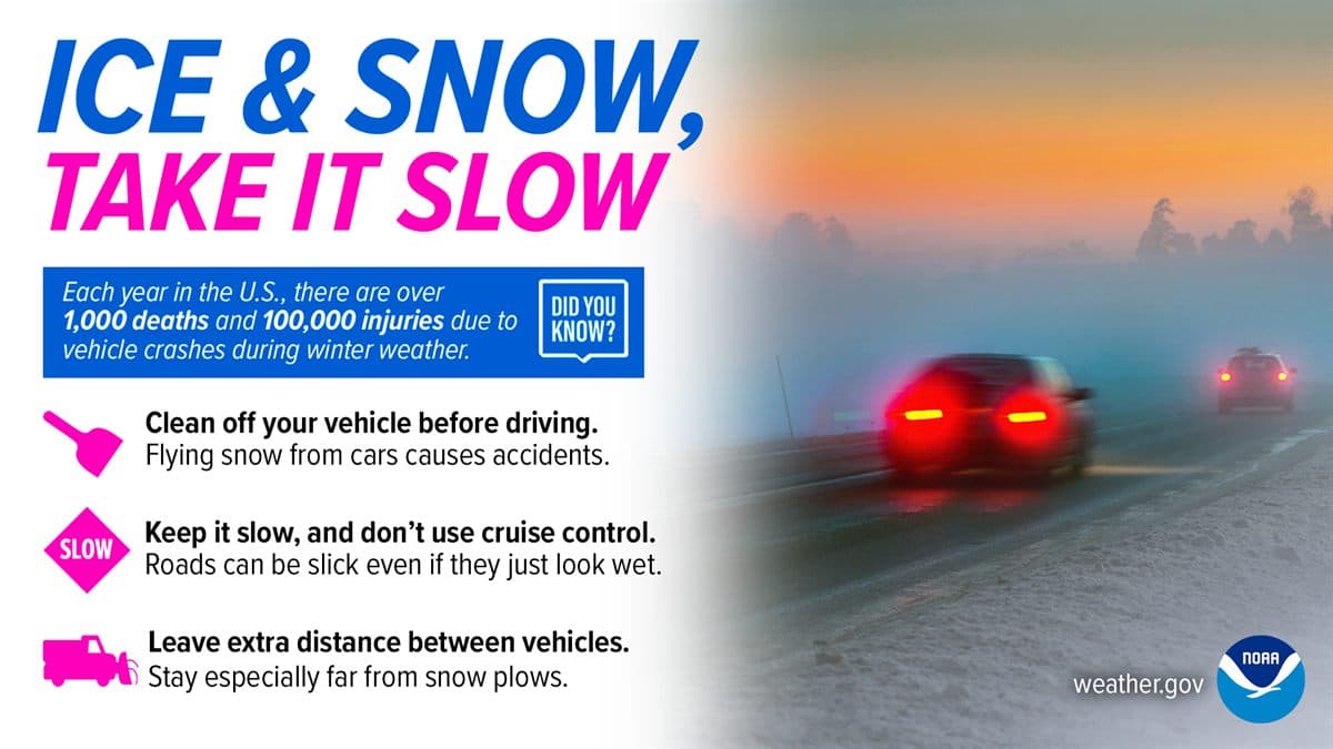
This is also where broader weather tools matter. Snow plus dangerous wind chill changes bus-stop and roadside risk, so check the wind chill guide before assuming the only issue is traction. Snow plus poor visibility can make a short errand unreasonable. Snow plus a long outage risk may make a winter vehicle kit or home supply check more important than one more forecast refresh.
What should a nightly snow forecast workflow look like?
1. Check the ZIP-level forecast and active alerts
Start with the location where tomorrow's decision happens, not the nearest TV-market city. Read the alert headline and the timing text.
2. Compare expected, low-end, and high-end snow
Use expected snowfall for the baseline plan and the high-end amount for decisions that would be hard to undo after midnight.
3. Map the heaviest snow to fixed obligations
School buses, shift start, medical appointments, flights, and driveway clearing windows are the anchors. Move flexible errands around them.
4. Add temperature, wind, and precipitation type
Near-freezing setups and windy events need more caution than the same total in calm, colder, powdery snow.
5. Recheck in the morning before leaving
Snow forecasts can tighten overnight. A two-minute check can catch a delayed start, a surprise mix, or a new warning before you commit to the road.
FAQ: snow forecast tomorrow by zip code
How do I check the snow forecast tomorrow by zip code?
Start with a local hourly forecast for your ZIP code, then compare expected snow amount, precipitation type, temperature, wind, and active winter alerts. A ZIP-level snow forecast is most useful when you treat the total as a range and match the timing to school, commute, and shoveling decisions.
Why do snow forecasts change the night before a storm?
Snow forecasts change quickly because small shifts in storm track, dry air, band placement, and temperature near freezing can move the rain-snow line or change snowfall rates. The final 12 to 24 hours often add better radar, surface observation, and short-range model guidance, so late updates can be meaningful.
How much snow is enough to affect tomorrow morning travel?
Even 1 to 2 inches can affect the morning commute when it falls during peak travel, arrives on untreated pavement, or combines with temperatures below freezing. Higher totals matter more, but timing, road temperature, wind, and local plowing capacity often decide how disruptive the snow feels.
Is a snow day forecast the same as a snow accumulation forecast?
No. A snow accumulation forecast estimates weather conditions, while a snow day forecast tries to infer school or workplace closures from weather, timing, road treatment, district policy, and local tolerance. Use accumulation, alerts, and road conditions as inputs, then wait for official closure decisions.
What is the best number to use: expected, low-end, or high-end snowfall?
Use expected snowfall for your baseline plan, low-end snowfall for the least disruptive plausible outcome, and high-end snowfall for contingency planning. If tomorrow has high stakes, build your schedule around the range rather than the single expected total.
Authoritative references
For official snow forecast products and winter travel guidance, review the National Weather Service graphical forecast image list, Weather Prediction Center probabilistic winter precipitation guidance, National Weather Service winter watch, warning, and advisory guidance, and NHTSA winter driving tips. These sources support the page's distinction between expected snowfall, forecast ranges, local warning criteria, and travel decisions during snow, sleet, ice, and low visibility.