Tropical Alerts
Hurricane watch vs warning: when to prepare, when to evacuate, and when to shelter
A hurricane watch means hurricane conditions are possible and you should finish preparations, while a hurricane warning means those conditions are expected and delay becomes more dangerous than action. The key timing detail is that NHC definitions are tied to the expected onset of hurricane conditions, typically 48 hours for a watch and 36 hours for a warning, not to the moment the eye reaches your county line.
Hurricane watch vs warning gets misunderstood because many people map both alerts to landfall theater instead of decision timing, even though storm surge warning, evacuation zone, and tropical-storm-force wind timing usually matter first. If you already use this site's NHC cone explainer, advisory timing guide, and coastal planning checklist, this page narrows the focus to the household question: when to wrap up preparation, when to leave if local officials call your zone, and when to stop treating the forecast as something you can out-wait with one more errand.
Quick comparison: what a hurricane watch, warning, and surge warning actually mean
Timing matters more than drama| Alert | Typical timing | Meaning | Best move |
|---|---|---|---|
| Hurricane Watch | Conditions possible, typically within 48 hours | You may face sustained winds of 74 mph or higher in the watch area. | Finish supplies, check your evacuation decision, and secure what takes time. |
| Hurricane Warning | Conditions expected, typically within 36 hours | Dangerous hurricane conditions are likely close enough that delays now create more risk. | Follow evacuation or shelter instructions and stop optional travel and errands. |
| Storm Surge Warning | Life-threatening inundation expected, generally within 36 hours | Water rise from the coast can be deadly even before the center arrives. | Treat local evacuation orders as urgent and do not focus on category alone. |
The most expensive mistake is waiting for a warning before thinking about departure time, supplies, or where you would go if your zone gets told to leave.
What is the difference between a hurricane watch and a hurricane warning?
The cleanest answer is that a watch is a finish-preparing signal and a warning is a protect-the-plan signal. The National Hurricane Center defines a hurricane watch as hurricane conditions being possible, typically within 48 hours, and a hurricane warning as those conditions being expected, typically within 36 hours. That sounds like simple vocabulary until you remember that coastal households, hotels, hospitals, schools, and public works crews all need hours to move people and protect property before bridges, roads, and outdoor labor become much harder to use safely.
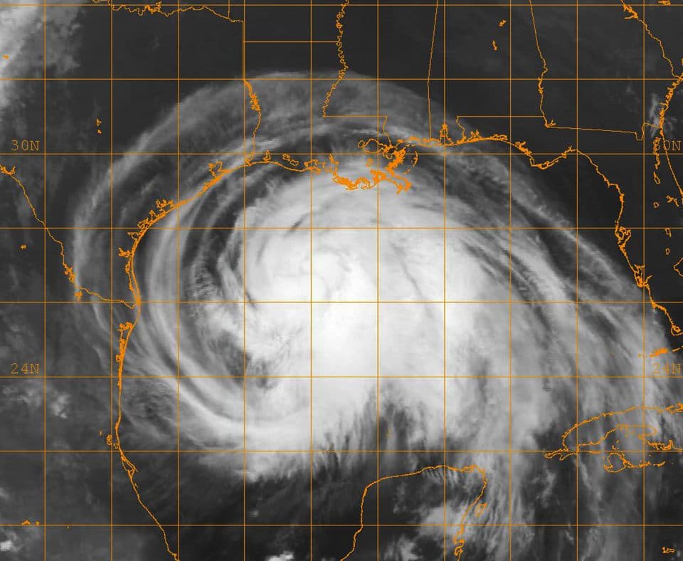
Another reason searchers get tripped up is that they assume warning means direct eye landfall is certain. That is not how the product works. A hurricane warning covers an area expected to experience hurricane conditions, which can happen well away from the exact track line. The site's cone interpretation guide makes the same point in a different way: impact zones are broader than the center line, and confidence in the exact path is never good enough to justify procrastination.
The deeper insight is that watches and warnings are pegged to the expected start of dangerous conditions, not to your preferred prep schedule. Once tropical-storm-force winds begin, ladders, shutters, roof work, beachside travel, ferry schedules, and evacuation traffic all get uglier. That is why the warning threshold is not an invitation to start a long to-do list. It is the point where the list should already be short.
Why are hurricane watches and warnings tied to 48 hours and 36 hours before conditions?
Because the atmosphere does not care how long your checklist is. NHC products are built around the expected arrival of hazardous wind conditions, and the official definitions deliberately leave room for people and local governments to act before those winds make preparation dangerous. That timing logic also explains why the site's potential tropical cyclone advisories explainer matters: official alerts can start before a storm has a tidy, fully formed look if land areas may still need lead time.
In practice, those lead times exist for several different decisions happening at once. Families are checking prescriptions, generators, fuel, cash, pets, and hotel options. Local officials are reviewing surge zones, bridge policy, school closures, and whether contraflow or public transit changes will be needed. Businesses are deciding whether to close early enough to get staff home. A hurricane warning does not arrive because the storm suddenly became interesting; it arrives because the remaining safe decision window is getting short.
This is also why people who say, "I'll wait one more advisory cycle," often trade away the wrong hours. Additional forecast clarity is nice, but once your area is moving from watch to warning, the operational value of perfect certainty often falls below the operational value of getting the car loaded or getting off the road before everyone else does.
Hurricane alerts are a timing tool. They are less about storm theater than about how much safe setup time is left.
What should you do during a hurricane watch?
A hurricane watch is when you turn generic preparedness into a location-specific plan. That means checking the exact county, parish, or zone instructions you would follow if authorities call for evacuation; confirming where you would go; filling prescriptions; testing flashlights; charging batteries; topping off fuel; and securing the items that take real time. If you need reliable update cadence, the site's NHC advisory schedule guide helps people understand when new forecast packages usually drop and why waiting for every bulletin can burn a lot of useful prep time.
A watch is also the right time to separate wind prep from surge prep. If you are inland enough that surge is not part of the equation, you may still need a strong shelter plan for wind, tornadoes, and freshwater flooding. If you are in a surge zone, on a barrier island, near tidal back-bay flooding, or in a manufactured home, the watch should trigger a more serious conversation about leaving early. The mistake is treating all households as though the same checklist fits them equally well.
- Confirm whether your address is in a local evacuation or surge-prone zone.
- Refill medications, fuel vehicles, charge devices, and gather important documents.
- Secure patio items, trash bins, and shutters while the weather is still workable.
- Decide where pets, children, older adults, and anyone with medical equipment would go.
- Review your inland rainfall risk, not just the track center line, using local hourly forecasts.
When should you evacuate instead of sheltering at home?
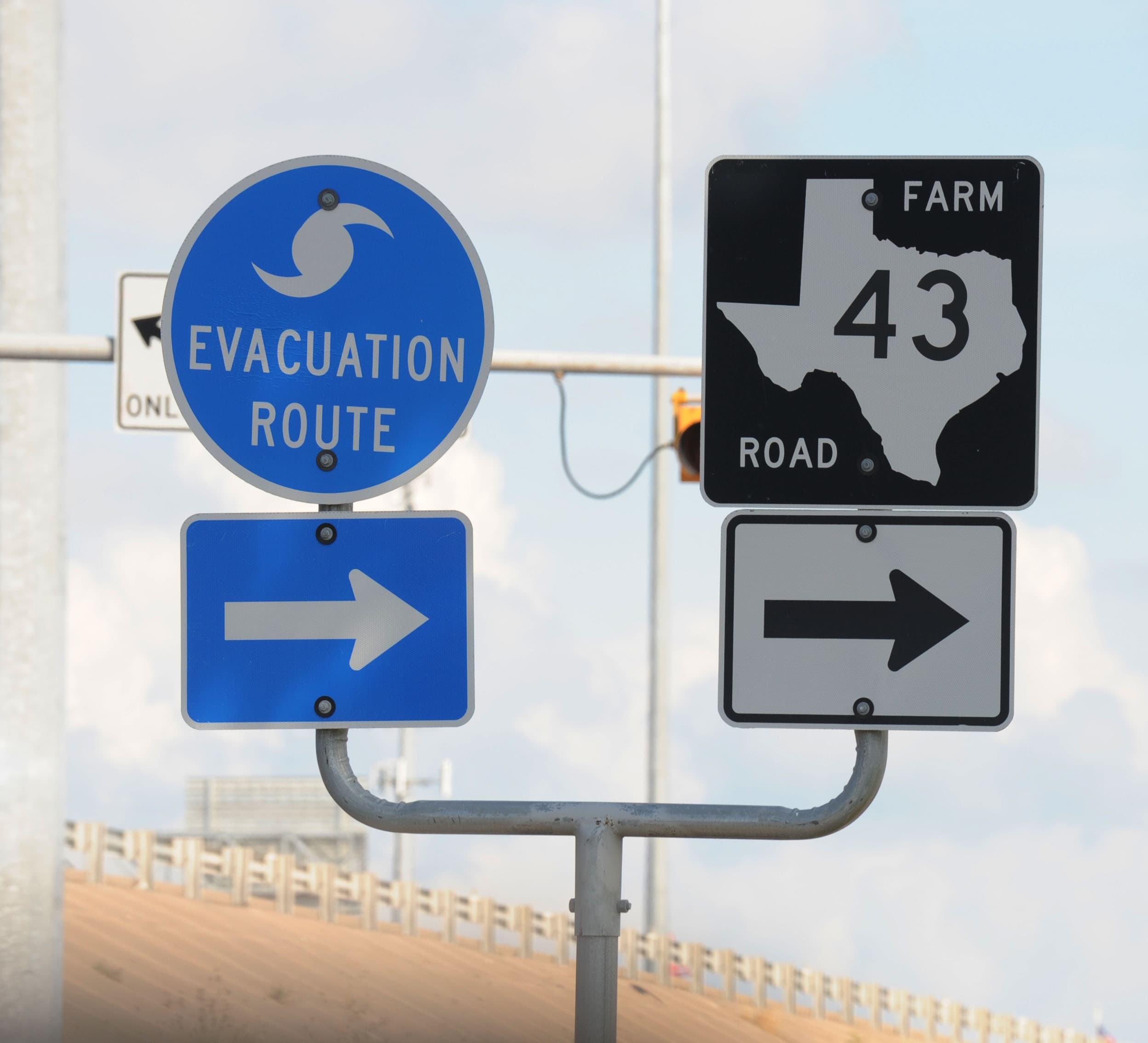
The simplest answer is: when local officials tell your zone to leave, or when your housing and location have a known vulnerability that makes staying a poor trade. Hurricane evacuation is not decided by social-media bravado or by category alone. It is usually driven by storm surge exposure, structure type, road clearance time, and whether emergency managers believe people can still move out safely before water or wind degrades the network.
That means a lower-category storm can still justify evacuation if your neighborhood floods easily or sits in a surge-prone coastal zone. It also means a household well inland might stay put during a hurricane warning but still need a careful power-outage, flooding, and tornado plan. The site's coastal planning checklist is useful here because it treats the evacuation choice as a dependency problem: route, timing, shelter destination, and worsening conditions all matter more than one dramatic number on the TV banner.
Ready.gov and local emergency managers make the same operational point in plainer language: know your route and zone before the order comes. If you wait to learn whether your street is in Zone A, B, or C after the warning is issued and everyone else is also searching, you are starting the decision at the least efficient moment.
What should you do when a hurricane warning is issued?
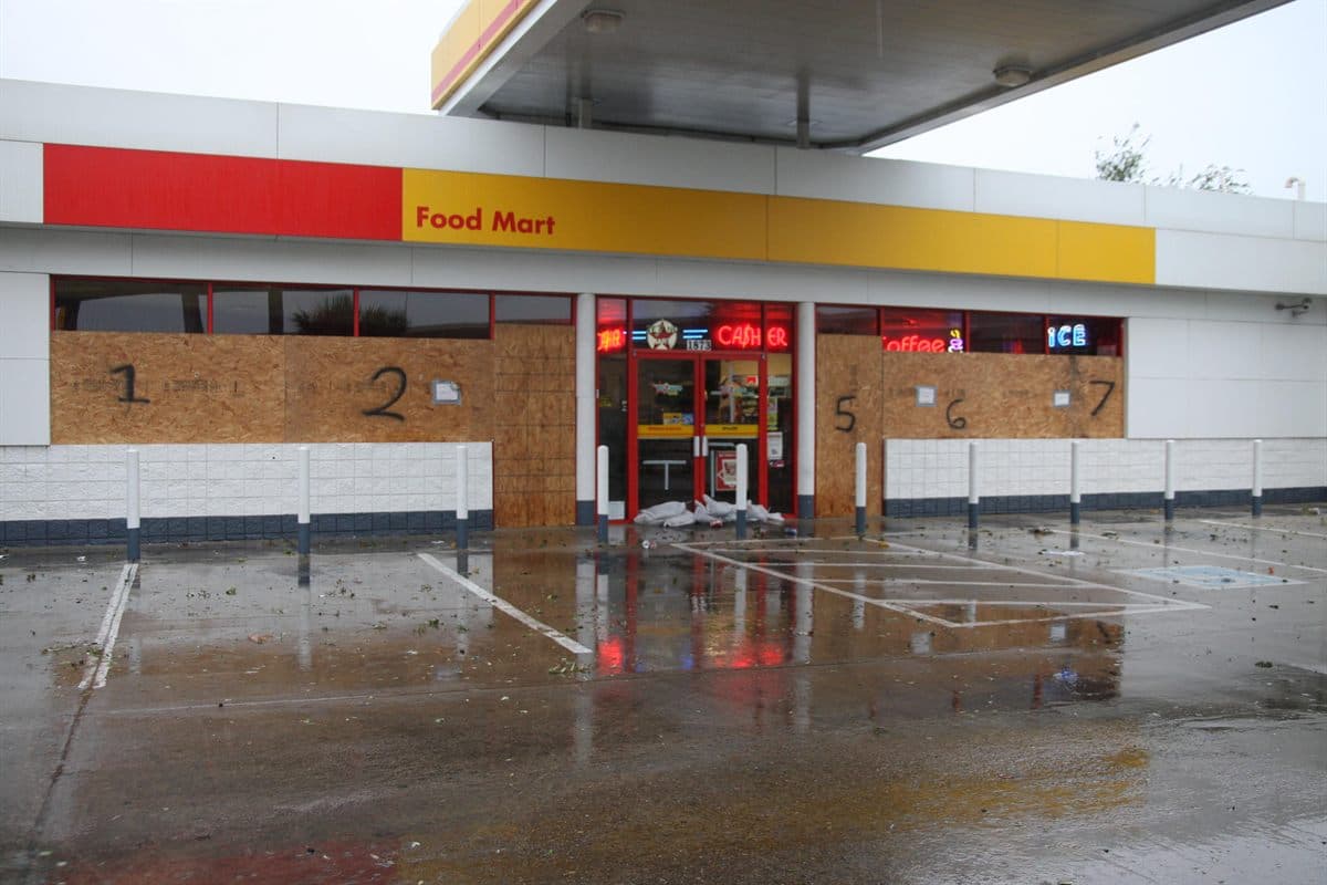
A hurricane warning is when your checklist should shrink, not expand. Essential tasks that take minutes may still be reasonable, but long optional errands, hardware-store trips, and wandering to the waterfront to look at surf are the exact behaviors the warning window is supposed to stop. If your area has been ordered to evacuate, the right response is to leave on the official timetable, not after one last attempt at normal routine.
If you are staying, the warning period is when you finalize the indoor setup: charge everything that matters, put water and medications where they are easy to reach in the dark, move vehicles to safer ground if local guidance supports that, and choose the interior room you would use if wind intensifies or a tornado warning is later issued. Many warned households do not get the exact eye impact they feared, but that does not make the warning a false alarm. It means the warned area was broad enough to protect people exposed to forecast uncertainty.
A warning also changes your relationship to time. You stop optimizing for convenience and start optimizing for resilience. That often means staying put once the dangerous weather window begins, preserving phone battery, keeping update sources simple, and accepting that some unfinished chores are now safer to leave unfinished.
How do storm surge warnings, tropical storm warnings, and extreme wind warnings fit in?
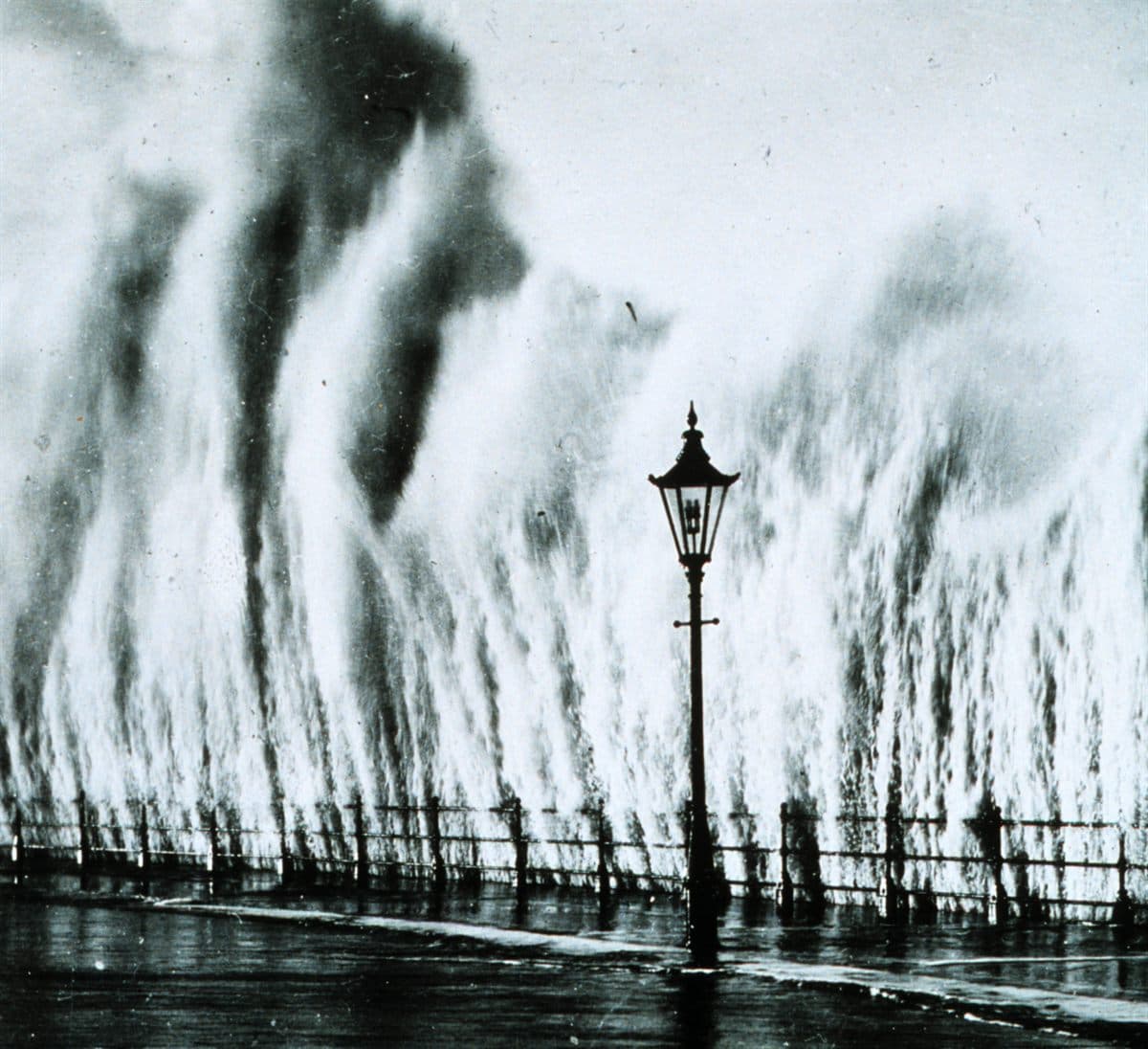
Hurricane alerts are only part of the coastal hazard language. The National Weather Service says storm surge is often the greatest threat to life and property from a hurricane, which is why surge has its own watch and warning products. A hurricane watch tells you hurricane conditions are possible; a storm surge warning tells you life-threatening inundation from rising seawater is expected in the specified area, even if the eventual wind category does not impress people who only look at the headline.
Tropical storm warnings matter because they often mark the point where outdoor prep becomes inefficient and evacuation becomes harder. Many households obsess over hurricane category while ignoring the earlier arrival of 39 to 73 mph winds that close their practical work window. The site's Saffir-Simpson explainer is useful here: the category only measures sustained wind, not rainfall flooding, tornadoes, or storm surge.
Extreme wind warnings are rarer and much more immediate. They are issued for the core of a major hurricane when extremely destructive winds are about to hit, typically within an hour. That is not a planning alert. It is a last-stage shelter alert. Thinking about these products as a ladder helps: watch means finish the plan, warning means protect the plan, surge warning may change whether you stay at all, and extreme wind warning means survival posture now.
Related hurricane alerts that change the decision
Use the right product for the right job| Product | What it signals | Why you care |
|---|---|---|
| Tropical Storm Warning | Tropical-storm-force winds are expected. These winds can arrive well before any eye or peak surge. | A strong cue to end outdoor prep and get off roads early. |
| Extreme Wind Warning | A rare alert used when the eyewall of a major hurricane is expected to bring sustained winds of 115 mph or more within one hour. | Treat as immediate life-safety sheltering, not a planning notice. |
| Potential Tropical Cyclone Advisories | Official advisories may begin before a system fully forms if land areas could get tropical-storm or hurricane impacts soon. | Do not wait for a neat, fully named storm before using the forecast window. |
A strong coastal plan uses the full alert stack instead of waiting for one dramatic phrase to do all the work.
Why category alone is a bad last-minute decision tool
One of the most persistent hurricane mistakes is acting as though a Category 1 automatically means stay and a Category 4 automatically means go. Official hurricane guidance does not work that way, because the category only covers sustained wind. It does not tell you how far surge will penetrate, how much freshwater flooding a slow storm may cause, how many tornadoes may spin up in outer bands, or how long a coastal road network needs to move people out before conditions deteriorate.
This is exactly why search interest in hurricane watch vs warning stays strong even when people think they already know what a hurricane is. What they usually want is not a vocabulary definition but a decision model. A lower-end hurricane warning paired with serious storm surge exposure can be a stronger signal to evacuate than a higher category storm that stays offshore and leaves your zone outside the worst water. Category is useful context. It is not the whole hazard picture.
If you need a calmer framework, treat category as one input, then layer in your evacuation zone, structure type, inland flood exposure, and the timing of tropical-storm-force winds. That approach is less dramatic, but it is much closer to how emergency managers and forecast offices think.
Do inland households need to care about hurricane warnings too?
Yes, because inland risk often shifts from surge to freshwater flooding, tornadoes, fallen trees, and long power outages. NWS hurricane safety material notes that tropical systems can spread damaging rain, wind, and tornado threats far from the immediate coast, which is why inland counties can still sit inside a hurricane warning area or face serious impacts from the broader circulation even if the coastline gets the worst headlines.
Inland households also tend to make a different kind of mistake: they dismiss the warning because they are not being told to evacuate. But staying does not mean staying casual. It means securing outdoor items, moving vehicles away from flood-prone spots, identifying the safest room for any spin-up tornado warning, and planning for a multi-day outage if trees and saturated ground combine badly.
This is where the site's broader forecast tools become useful alongside the blog content. The hourly forecast page helps you see when the wind and rain window will peak locally, and the tropical posts help explain why those impacts can extend well outside the eye path. Warnings are area-based risk tools, not eye-contact predictions.
Bottom line before the next coastal threat
Hurricane watch vs warning is really a question about how much useful decision time you still have. A watch means finish the work that becomes dangerous or slow later. A warning means the danger window is close enough that lingering errands, late evacuation decisions, and category-based denial become expensive mistakes.
If you remember one rule, remember this: watch means prepare with urgency, warning means protect the choice you already made, and storm surge messaging may matter more than the category number if water is your main threat.
Hurricane Watch vs Warning FAQ
What is the difference between a hurricane watch and a hurricane warning?
What should you do during a hurricane watch?
What should you do when a hurricane warning is issued?
When should you evacuate for a hurricane warning?
Does a hurricane warning mean the eye will hit your town?
Authoritative references
For official hurricane definitions and planning guidance, review National Hurricane Center watch and warning definitions, National Weather Service hurricane safety overview, NWS storm surge safety guidance, and Ready.gov hurricane preparedness guidance.