Severe Weather Alerts
Severe thunderstorm watch vs warning: what changes when the alert upgrades
Severe thunderstorm watch vs warning is mainly a timing and action difference: a watch means severe storms are possible and you should prepare, while a warning means a damaging hail or wind threat is occurring or imminent and shelter decisions should already be happening. The biggest practical mistake is treating a severe thunderstorm warning like routine thunder, because warning-level wind and hail can break windows, topple trees, and occasionally escalate into a tornado warning with very little additional lead time.
Severe thunderstorm watch vs warning is mostly a difference in certainty, geography, and the speed at which you need to act. If you already use this site's watch, warning, and advisory explainer, tornado watch vs warning guide, and weather tomorrow by hour, this page narrows the focus to severe thunderstorm warning meaning, hail and straight-line wind thresholds, and the exact steps that matter before the storm arrives at your block.
How is a severe thunderstorm watch different from a severe thunderstorm warning?
Prepare vs take cover| Alert | Issued by | Meaning | Typical footprint | What you do |
|---|---|---|---|---|
| Severe Thunderstorm Watch | Storm Prediction Center | Severe storms are possible in and near the watch area. | Usually many counties or several states for a multi-hour window. | Prepare, reduce exposure, and keep alert channels on. |
| Severe Thunderstorm Warning | Local National Weather Service forecast office | A storm meeting warning criteria is occurring or imminent. | A smaller polygon, often around the size of a city or small county. | Take shelter in a sturdy building and stay away from windows. |
The National Weather Service's thunderstorm alert page describes the watch as a broad "be prepared" signal and the warning as the smaller, imminent "take action" signal, which is the core behavior shift most people need to remember.
What makes a thunderstorm "severe" in the first place?
The official threshold is narrower than many people expect. By National Weather Service definition, a severe thunderstorm is one capable of producing wind gusts of at least 58 mph, hail 1 inch in diameter or larger, or a tornado. That is why a storm can look dark, loud, and full of lightning without receiving a severe thunderstorm warning, while another storm with less dramatic rain but verified quarter-size hail or 60 mph wind does get a warning.
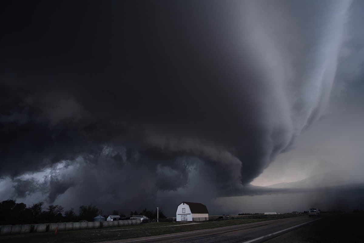
This matters because the hazard is often not the part casual users focus on first. Straight-line wind is the most common severe thunderstorm damage producer, and official severe-weather training materials repeatedly note that these winds can topple trees, power poles, sheds, and high-profile vehicles across a wide area. Hail is not cosmetic either. Once stones reach quarter size, they can crack glass, dent vehicles, injure anyone outside, and cause rapid roof and siding damage. The storm does not need to produce a tornado to justify quick sheltering.
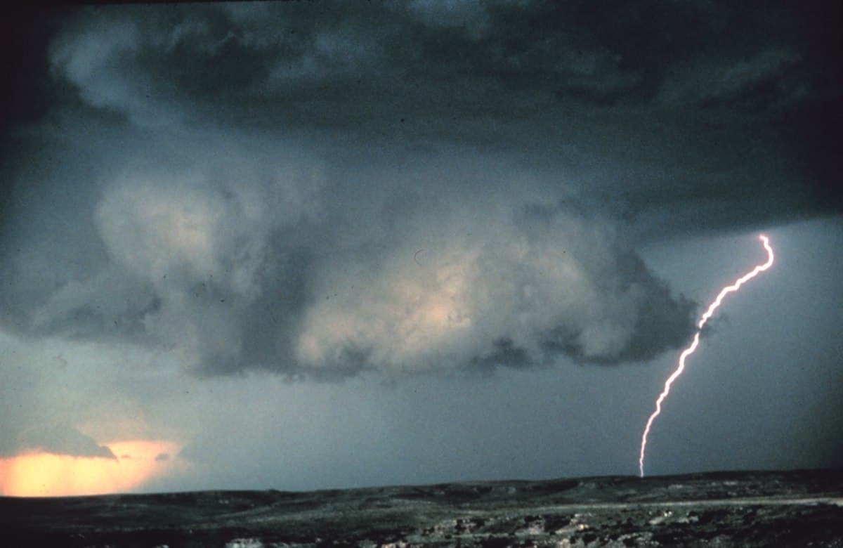
Another useful nuance: lightning frequency is not the criteria for issuing a severe thunderstorm warning. That sounds counterintuitive because lightning is the most universal thunderstorm hazard, but warning products are built around the higher-end hail and wind thresholds above. In practice, you should treat all thunder seriously, then treat a severe thunderstorm warning as proof that the storm has crossed into a more destructive category.
A severe thunderstorm warning is not just a noisier storm notification. It is the signal that damaging hail or wind has reached a threshold where property damage and injury can happen fast.

What should you do during a severe thunderstorm watch?
A watch is your cheapest decision window. The Storm Prediction Center generally issues severe thunderstorm watches across a broad region when the atmosphere is favorable for severe storms over the next several hours. Local offices then refine the counties involved. That means the watch is not telling you one exact street is in danger yet; it is telling you the ingredients are in place and that it is time to finish the work that becomes slow, awkward, or forgotten once the sky turns hostile.
Start with exposure. Move patio furniture, umbrellas, and lightweight trash bins. Delay an unnecessary drive if the watch overlaps the strongest part of the day. If kids have outdoor practice or you manage a work crew, use the watch to confirm where people will go if a severe thunderstorm warning is issued. The site's weather alerts on phones guide and NOAA Weather Radio setup walkthrough become most useful during this watch phase, because redundancy matters before the warning window gets short.
Use the watch to choose a room, not just a building. National Weather Service safety guidance recommends a substantial structure and a secure location away from windows once warning-level hail or wind approaches. If you wait until the warning tone sounds to decide between the office lobby, a glass hallway, or a storage room, you have already spent part of your safest lead time on confusion instead of protection.
- Turn on at least two warning sources before storms begin to fire.
- Secure loose outdoor items that can become debris in 60 to 80 mph wind.
- Identify the best interior room at home, work, school, or the event venue.
- Reduce optional travel if the strongest storm window overlaps your route.
- Check the hourly forecast so you know when conditions start deteriorating fastest.
What should you do when a severe thunderstorm warning is issued?
A severe thunderstorm warning is the point where preparation turns into sheltering. Official NWS guidance says to move into a sturdy building, stay away from windows, and avoid large open rooms like gymnasiums, cafeterias, or auditoriums when damaging wind or large hail is approaching. If you are at home, the best room is usually an interior space on the lowest floor with the most walls between you and the outside wind.
Cars are safer than standing outside, but they are not the first-choice shelter if a building is available in time. The NWS severe-weather safety page advises drivers to head to the closest secure shelter if they can do so safely. That matters because warning-level hail can shatter glass and warning-level wind can push debris across roads or knock down branches and lines with little notice. If heavy rain is also present, the warning can overlap with the same road-flooding problems discussed in the site's flooded-roads safety guide.
Sheltering during a severe thunderstorm warning does not mean using tornado rules automatically. You do not have to climb into the deepest corner of a basement just because a severe warning exists. But you do need to get away from windows, keep people out of open-span rooms, and stop pretending the storm can be judged by how loud it sounds from the porch. Warning products are built on radar and verified reports, not your view out the front door.
The warning usually lasts much less time than the watch. Some forecast offices describe typical warning duration as around 30 to 60 minutes, with updates issued as the storm moves. That short fuse is why warning behavior has to be simple: get inside, get away from glass, and keep monitoring in case the storm strengthens further.
Does every severe thunderstorm warning trigger a phone alert?
No, and this is one of the biggest reasons people underestimate severe thunderstorm warnings. Wireless Emergency Alerts are not triggered by every warning-tier storm. The National Weather Service's warning-tag guidance breaks severe thunderstorm warnings into three damage-threat levels: base, considerable, and destructive. Only the destructive tier, which is reserved for storms capable of around 80 mph wind and/or baseball-size hail, automatically triggers WEA on compatible phones in the warned area.
That means a base warning can still be dangerous enough to crack windows, damage roofs, break tree limbs, and injure people outdoors without making your phone sound like a tornado warning. A considerable warning raises the threat again, but still does not automatically produce a cell-broadcast alert. If your personal severe-weather strategy depends on the phone screaming every time a damaging storm is coming, you are building a gap directly into your own alert system.
The practical answer is redundancy. WEA is valuable, but the official WEA FAQ explicitly describes it as one of several channels, alongside NOAA Weather Radio, broadcast media, radio and TV, and local emergency notification systems. Severe-weather households should plan for the common case where a warning exists, but the phone remains silent because the storm is base or considerable rather than destructive.
| Damage tier | Official threshold | Meaning | Phone alert? |
|---|---|---|---|
| Base | 58 mph wind and/or 1.00 inch hail | The storm meets severe criteria and can still break windows, damage trees, or injure people outside. | No WEA by default |
| Considerable | 70 mph wind and/or 1.75 inch hail | The warning signals an unusually dangerous hail or wind threat with more serious property damage potential. | No WEA by default |
| Destructive | 80 mph wind and/or 2.75 inch hail | The warning describes an extremely dangerous thunderstorm capable of destructive wind or baseball-size hail. | Yes, WEA is triggered |

Can a severe thunderstorm warning turn into a tornado warning?
Yes. Severe thunderstorms can produce tornadoes with very little additional lead time, and official NWS severe-storm training material notes that tornado warnings are issued when a severe thunderstorm is or is expected to produce a tornado. In other words, the severe thunderstorm warning and tornado warning workflows are related, not isolated. A storm can begin as a hail-and-wind problem, then develop enough rotation that the local office upgrades the threat.
That does not mean every severe warning should be treated like a tornado emergency. It means you should take the severe warning seriously enough that a tornado upgrade does not catch you exposed near windows, on the highway, or halfway through an outdoor event reset. This is one reason the site's tornado watch vs warning guide belongs in the same household playbook as this page: severe weather frequently moves between alert types during the same evening.
The better mental model is escalation, not replacement. A watch tells you the environment supports severe storms. A severe thunderstorm warning tells you one of those storms has become dangerous in a specific area. A tornado warning tells you rotation or a confirmed tornado has crossed a new threshold inside that storm. If you understand that ladder before storms arrive, the wording on later warnings feels less confusing and your protective action gets faster.
What should you remember before the next severe weather day?
Severe thunderstorm watch vs warning is not a vocabulary quiz. It is a decision clock. The watch is your setup period for alerts, shelter locations, and travel changes; the warning is the moment to move inside and stay away from windows because damaging wind or large hail is close enough to matter now.
The most useful upgrade for most households is not another radar app. It is a clearer routine: watch means prepare, warning means shelter, destructive warning may trigger the phone, and any rotating warned storm can escalate further. Build that routine once, and the next severe-weather evening becomes easier to manage under pressure.
Severe Thunderstorm Watch vs Warning FAQ
What is the difference between a severe thunderstorm watch and a warning?
What counts as a severe thunderstorm?
What should you do during a severe thunderstorm watch?
Does every severe thunderstorm warning trigger a phone alert?
Can a severe thunderstorm warning become a tornado warning?
Authoritative references
For official thunderstorm safety and alert guidance, review NWS severe thunderstorm preparation guidance, NWS what to do during severe weather, NWS impact-based warning tags, and Ready.gov thunderstorm and lightning safety.